Mapping as Disappearance
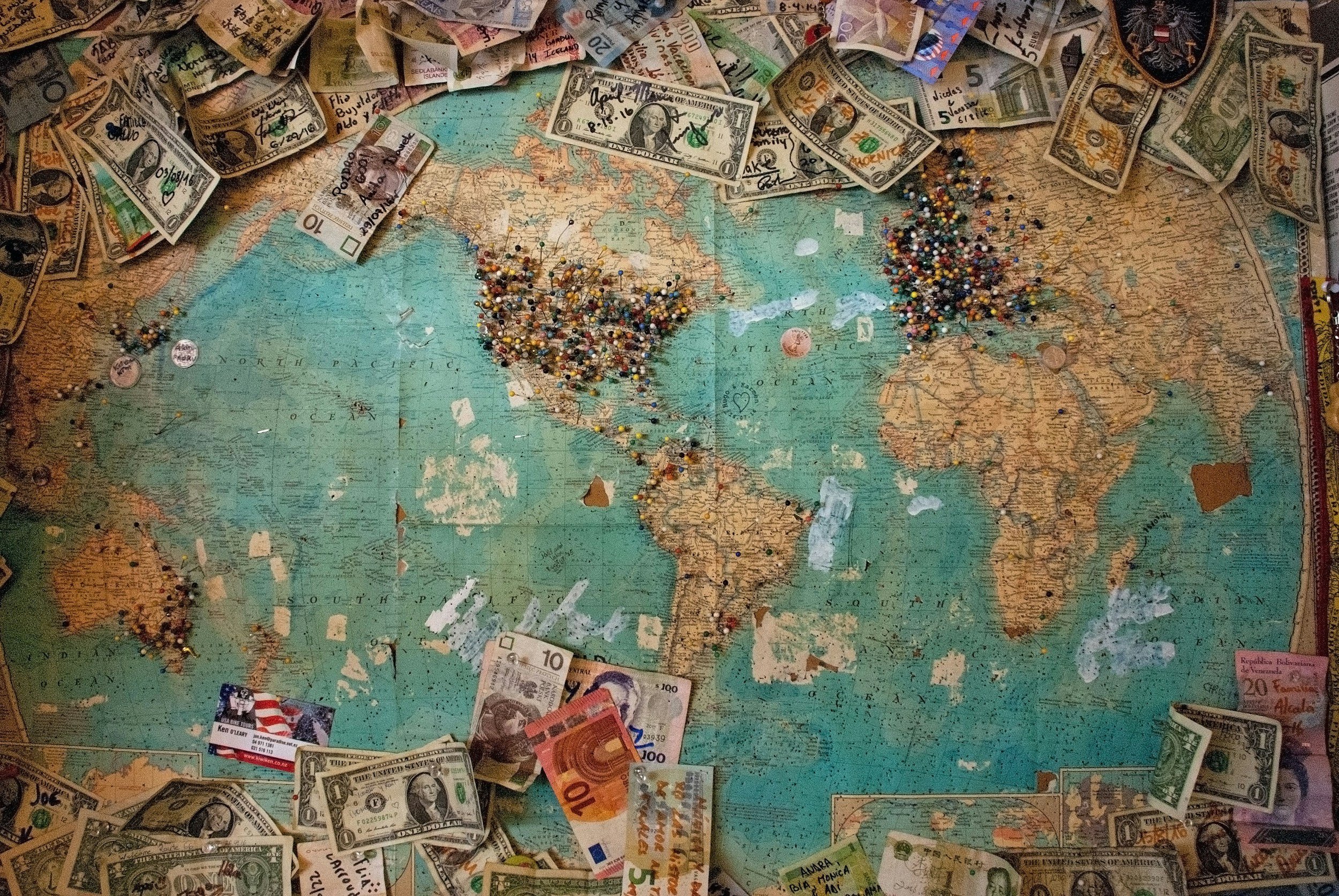
We rarely question the authority of maps. Their gridlines and coastlines, their careful typography and borders, feel scientific and precise. We teach children to study them as if they are objective reflections of the world. But to assert that maps are purely factual is a false assumption. Maps are not passive records of land. They are political instruments designed to assert control, reinforce borders, and legitimize claims to territory. From colonial conquest to corporate surveillance, cartography has long served as a quiet tool of domination, erasure, and strategic storytelling.
Drawing Power: Maps as Political Tools
Colonial-era maps offer some of the most blatant examples of cartographic power in action. During the Scramble for Africa, European empires divided the continent with lines drawn in distant rooms, often with no regard for local histories, cultures, or ecologies. These were not maps made to reflect the world, but to carve it.
The Partition of India is another violent case: a hastily drawn line split communities, languages, and families, leaving behind decades of conflict. In Israel/Palestine, the act of mapping is itself a contested form of statehood. Maps determine what is recognized, what is erased, and who gets to exist within the frame.
Underlying these examples is the idea of terra nullius—“nobody’s land.” By mapping places as blank or unclaimed, colonial powers could justify occupation. The land was there, but the people were written out.
Mapping the Nation-State
In college, I took a course titled Nations and Nationalism, where we examined Max Weber’s influential definition of the modern state as the entity that holds the monopoly on the legitimate use of physical force within a given territory. According to Weber, the nation-state is not a natural formation but a political construct—its borders, identities, and authority maintained through symbolic and material power. Maps, in this framework, become one of the state’s most powerful tools, legitimizing territorial control by rendering political boundaries as fixed and factual.
Maps have always served the ambitions of the nation-state. They present not only territory but legitimacy, often weaponized to assert unity where there is division, or claim where there is conflict. In this context, the map becomes an instrument of nationalism, prone to what scholars call the five nationalistic violations: exaggeration, exclusion, erasure, renaming, and simplification.
A nation may exaggerate its territorial integrity, exclude disputed regions, erase minority presence, rename cities to fit official language or ideology, and simplify cultural complexity into a singular, dominant narrative. These violations turn maps into myths. Whether it is the assertion of control over Kashmir, the redrawing of Ukraine's eastern borders, or the rendering of Taiwan as an internal province, such manipulations reveal how the map is used not to describe, but to declare. In the hands of the nation-state, cartography is less about truth and more about control.
Borders, Names, and Lies
Even the names on maps carry ideological weight. To name a city is to claim it. To draw a border is to fix a narrative in place. This is how maps can overwrite indigenous identities and naturalize contested spaces. A border drawn on paper becomes a border in the mind.
Consider the naming dispute between the Persian Gulf and the Arabian Gulf. The conflict over a body of water’s name is not just semantic—it reflects deeper regional rivalries, histories of empire, and the struggle for symbolic control.
Maps don’t just describe the world. They manufacture consensus.
The Digital Cartographer: Surveillance and Control
Today, the cartographer is often not a colonial general but a tech giant. Google Maps, GPS, and satellite imaging are now the dominant instruments of global mapping—and they carry their own biases. Companies often collaborate with governments to shape geopolitical perception, modifying how disputed territories are rendered based on the viewer’s location. Crimea looks Russian from Moscow. Taiwanese borders disappear in Beijing.
This digital mapping is not just about direction, but surveillance. GPS coordinates track movement. Real-time imagery watches borders. The map has become a mirror, not of geography, but of power.
The Map is Never Just a Map
Every map tells a story, and often, it’s the story of those in power. To read a map critically is to ask: who made this? What was left out? What agenda is being traced along these lines?
In an era of rising nationalism, AI-generated boundaries, and algorithmic borders, we need not just cartographers, but cartographic literacy. Ethical mapping. Poetic mapping. Participatory mapping.
Because the map is never just a map. It is always, always, a message.
